Day 40: Climbing Uluru
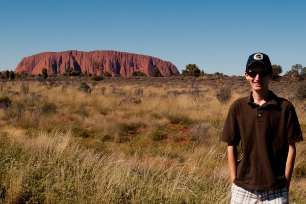
Today was a very full day. We started the day bright and early, or should I say, dark and early. We were to go see the sunrise at Uluru, so we got up while the stars were still out. We got out of the door and headed towards Uluru. As we drove, the sky began to glow a dull orange. We should have stopped to take a picture of Uluru in this light, but we kept going forward towards the sunrise viewing area. When we arrived, the sunrise was still a few moments away, but the sky was already much brighter and not nearly as cool. What was cool, however, was the air, which was resting at a balmy 3C (37F). Some of us came prepared for the cold, but others were less fully prepared and froze as we waited for the sun to rise. Once it did rise, rather anticlimactically, but for some rays of light across Uluru, we heard cries of “take me back to the car!”
From the sunrise, we drove around to the base of Uluru to climb to the top. We figured it would be a little cool in the shade on the way up, but that was better than climbing tired. Unfortunately, when we got there, there was a sign up saying the climb was closed due to high winds at the summit. Luckily, we had a backup plan. After climbing Uluru, we had planned to hike around Kata Tjuta, so we would just flip flop and hike there first.
Kata Tjuta is another rock formation in the national park made up of many rocks instead of one bigger one. It is located about 40km (25mi) west of Uluru, about a thirty minute drive. Much like Uluru, as we drove towards Kata Tjuta, it just kept getting bigger and changing shapes. Once we arrived, it was clear that the rocks were not as tall as Uluru, but they were still massive and in total covered a much larger area.
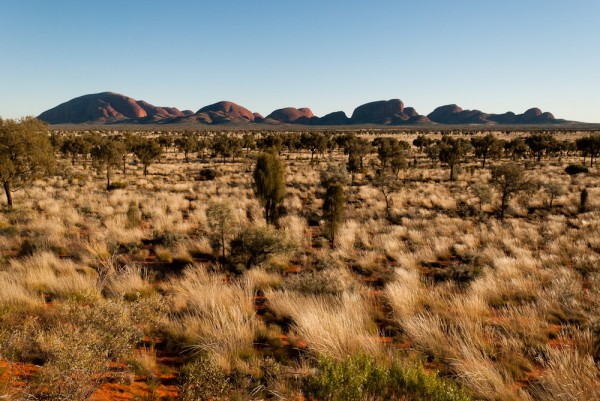
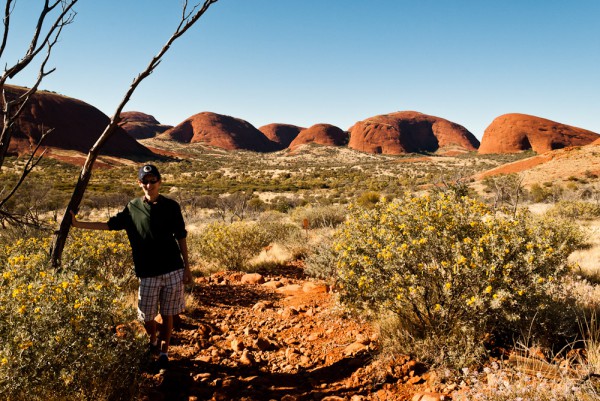
Kata Tjuta, a collection of huge rocks. We hiked near the one on the left, which is hiding several others behind it.
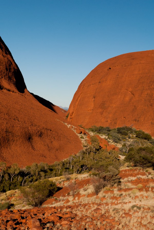
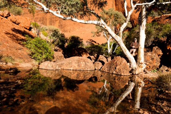
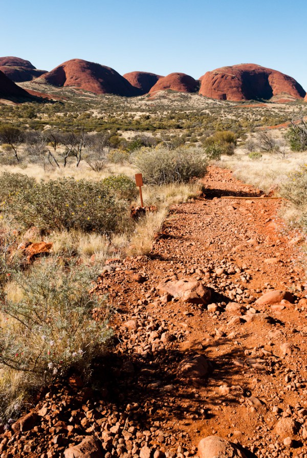
Our hike was a 7.4km (4.5mi) loop through “The Valley of the Winds” and it was absolutely spectacular, easily our most scenic hike yet, beating out our Nepal hikes in consistent amazing views. Unfortunately, Mary and Madi decided to say behind. The hike started by going around the first small hill and stopping at a small lookout. From there, we saw our only kangaroo of the day, a big red hopping across the hilltop. Once we left the viewing area the real hike began. From there, we went down into valleys between two huge rocks, where we had to cross crystal clear streams, and climb up rock faces that reminded us of the hike up Uluru. The main valley we walked through was absolutely spectacular. It had huge sheer walls up the sides and lush green areas where all of the water collected. It reminded me of a red, desert Yosemite.
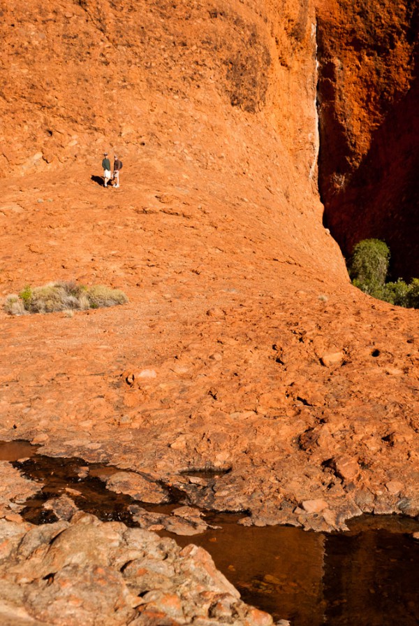
We went as far up this rock as we could before it became a sheer cliff. It towers over a hundred feet above us.
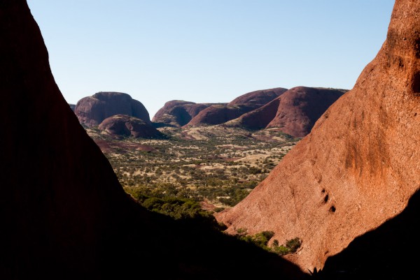
We climbed a hill to pass between two rocks and leave the valley and were greeted with a gorgeous view of the further off rock formations of Kata Tjuta. Everywhere we walked, the views were absolutely spectacular and we just could not get over how great it was for a short little hike. Back at the car, the girls had simply been relaxing, playing cars, or “resting their eyes.” We were glad to find them there, as our map said the hike would take four hours, while it really only took two, and we thought they may have driven off to go do a small hike. We had brought in a picnic lunch, which we ate at the picnic area before leaving to head back to Uluru.
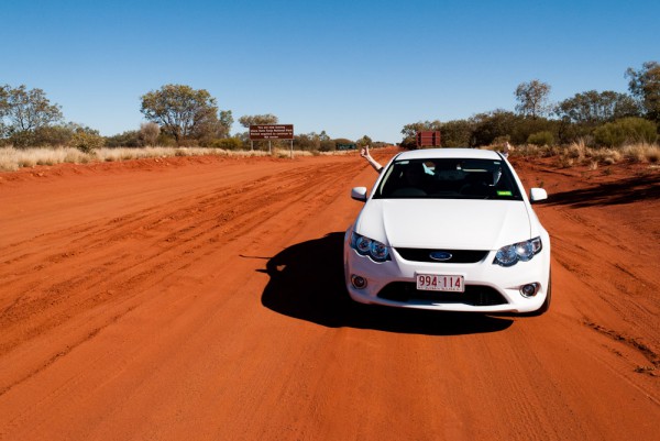
This road leaves the national park and continues all the way to the state border, 190km (118mi) away, with nothing in between. I'm not sure how far over the border you must go to find something, but probably a long way.
By the time we got back, the climb to the top had been reopened and we were free to go. The girls had already decided yesterday that they weren’t going to come, as they could not even make it up the first open section to get to the guiding chain. The entire hike is 1.6km (1mi) and is broken up into two parts. The first is the main climb, which is steep enough to warrant a guiding chain for support and security while climbing. Once that is scaled, you walk across the top of the rock until you get to the highest point. 1.6km does not sound like a lot, but trust me, with that climb, it is nearly impossible, but physically and psychologically.
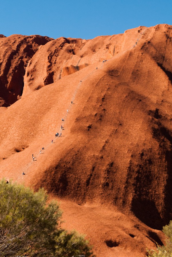
The chained section of the climb. The chain starts just after that guy at the bottom, and ends just over that crest at the top.
Of course, we didn’t know that when we started. All we knew was that it was 1.6km to the top, and there was a chain straight up the side as far as we could see. From the bottom it didn’t look like it would be too bad, but as soon as we started climbing, we realized we were wrong and we were glad the girls decided not to come. The climb is so steep that as you go, you cannot fully stop, as you must constantly balance yourself. The rock was rough, so our shoes had great grip, but it was still a daunting climb, which required pulling yourself up by the chain many times. Lots of people were stopping for many breaks, as we did as well. One our first break we decided to trade off carrying our light backpack, and we realized what a huge difference such a tiny amount of weight made. The climb was incredibly steep, but it was not so much tiring in the legs, as it was cardiovascularly. My heart rate was constantly extremely high and the endurance required was incredible. As we neared the top, some of the bigger guys looked like they nearly died climbing up. At this point, I feel that I have failed to adequately put into words just what the climb was like; perhaps Greg can contribute in a comment.
The other issue with the climb was that of psychology. We were climbing up an incredibly steep slope with only a low chain to keep us from tumbling down. Literally. If you were to trip and start tumbling, you would simply keep going unless you could grab the chain. Furthermore, to both sides of the climb, the rock quickly dropped off to a rather sheer cliff, where nothing would prevent you from simply walking over the edge. Luckily, I was far to tired from the climb to worry about any of that.
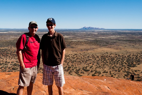
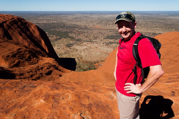
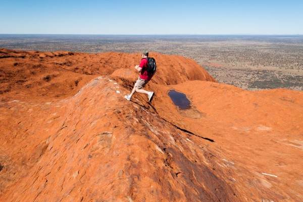
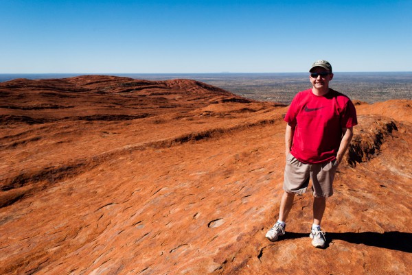
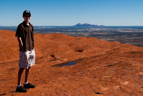
Once we reached the top of the chain, we took a nice long break. Much to our delight, the rest of the trail did not require a chain to climb. At this point, we were basically on top of Uluru. There was a white dotted line which marked the direction for us to go, which was still up, but a far less challenging up. The top of the rock was amazing. You could look off the edge and see just how high we were, and look around and see all of the neat features of the rock. Though we were still climbing up at this point, there were many valleys to cross, which involved running down one side in an attempt to gain enough momentum to make it up the other side. Other features included small pockets of water, usually with a bit of grass nearby, and some small inlet “caves,” probably formed by the water. We walked a long way across the top, probably almost to the opposite side of the rock, which was really quite awesome. In each direction, we could see the Martian landscape of the rock, which then fell down in steep slopes to the ground all around. We could look around and see far out into the outback in each direction. Like the climb, there were no fences or anything to keep us from walking off the edge.
Finally, we reached the summit, which was just the top of another hill, with no higher hills around. There was a plaque marking the point, but otherwise there was nothing. We noticed that the demographic of those who made it all the way to the end was much younger than those who started. After some photos and a snack, it was time to head back. Along the way, one of the valley walls I had to run down was so steep that I gained so much speed running down that I ended up tripping up the hill on the other side. The hike down the chained section was rather interesting. While not nearly as physically exerting as going up, maintaining your balance and slow speed was very stressful on the knees and toes. By the time we reached the bottom, both of our knees were burning, being unaccustomed to that much stress. Furthermore, the trail going down seemed more slippery than it did going up. Both of us slid several times and had to catch ourselves. If we didn’t, we would have made it to the bottom much quicker. The chain provided some support, but it was so low that it was hard to hold on to. A couple of time in super steep spots, we just had to grab the chain and walk down backwards. It was also much easier to see the sheer cliffs to our left and right as we walked down. Finally we made it to the bottom and found Mary and Madi, who had still not worked up the courage to make it to the start of the chain.
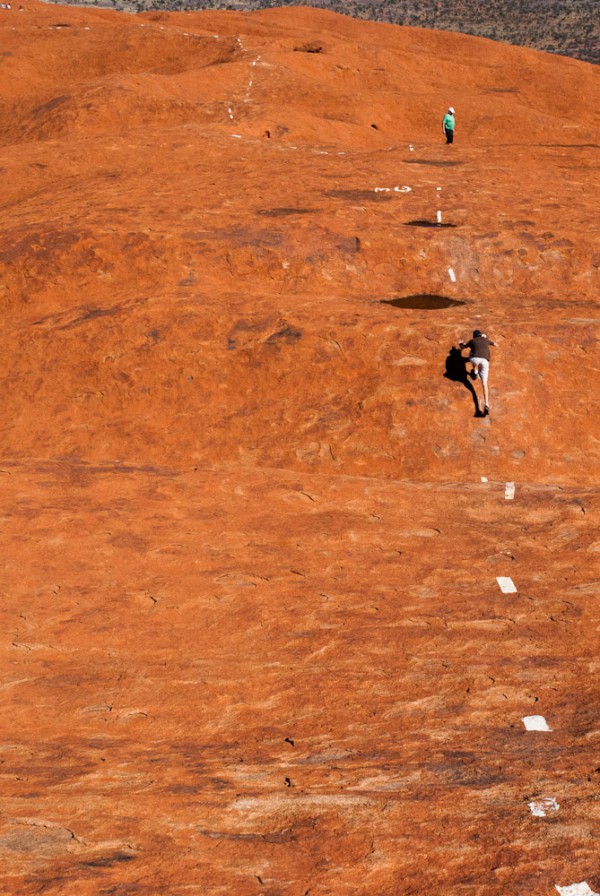
This is where I tripped going up. Notice that the hill I went down is so steep that you can't even see it, it just looks like a cliff.
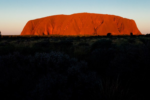
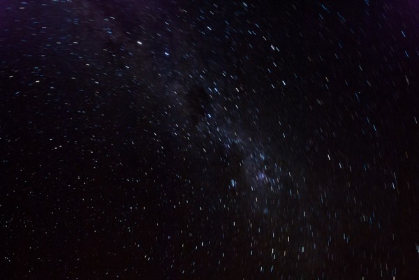
After such a long and busy morning, we spent a couple of hours resting at the cabin. Greg and I took our picnic dinner to the sunset viewing area, where we ate while we waited for the sun to set. This time we were at a distance from Uluru, watching it as the sun set. Unfortunately, the sunset was much less exciting than last night’s and we weren’t incredibly impressed. Later, we went out again to see the stars, which were spectacular yet again. Tonight, there was a bit of a meteor shower, and I saw two full shooting stars, as well as lots of little ones that just flashed. All in all, today was a long and awesome day!
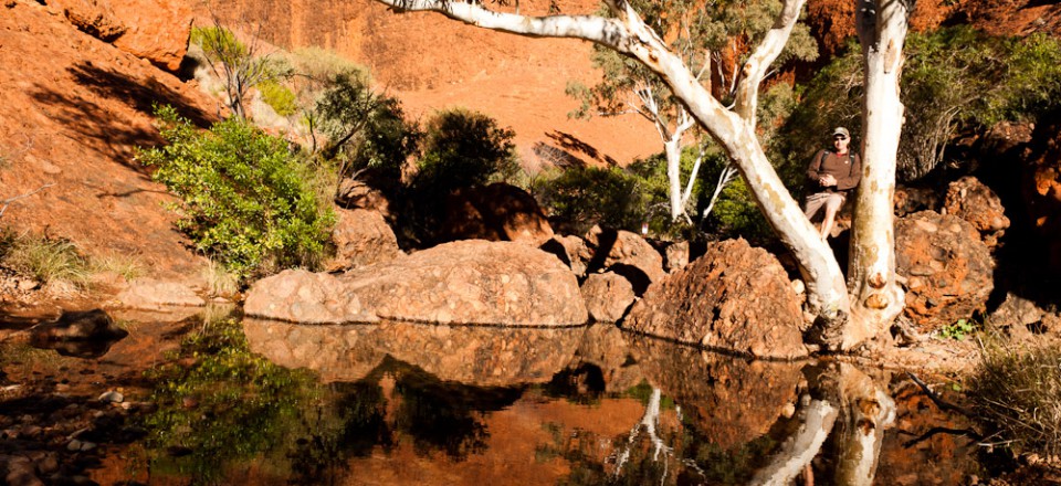
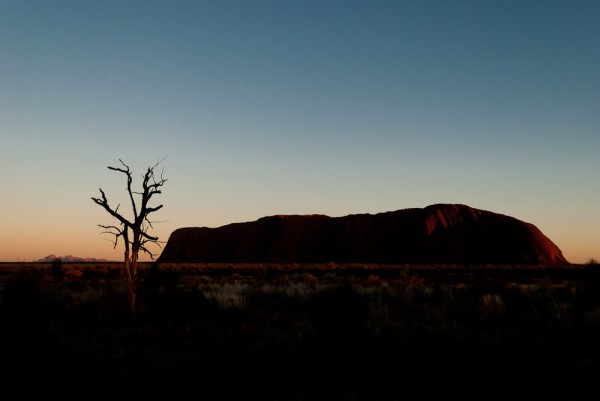
This is a truly beautiful place. It reminds me some of the southwest with the rocks and the dry landscape but also of NC with all that red dirt! Your pictures are great as usual. I’m wondering if all of this hiking is keeping Greg young or if it’s making him feel old?
So far so good. If I could trim his legs by about 8” it would shorten up his stride and I could keep up easier. We have been keeping the hikes under about 12 miles which is about my daily limit so I still feel young. If he pushed me over that in a single day I’d probably be sore the next day.
Awesome pictures. I take it that heights do not bother you. What a climb!
We enjoyed all the pictures and the story from your two hikes today! The cool clear weather was perfect for such a strenuous adventure! Uluru and Kata Tjuta are both truly spectacular places that you will never forget.
37 degrees F sounds heavenly!
Really like the long exposure of the starry sky.
I would say the climb was exhilarating & exhausting all at once. It was odd that my legs never did burn but my heart was pumping at like 180 bpm after the first say 100 steps and never slowed down until the top. I’m guessing that our 1 pound a day of Cadbury Chocolate consumption as a training program was not exactly the best plan?
The walk down was more spooky to me, especially in those narrow areas with the long shear drops being only 3 feet to the left and 8 feet to the right. Plus the fact that if you slipped or tripped you were going to slide a very long way as the path was just so steep.
I’m pretty sure this was not OHSA approved and it is amazing they just turn folks loose on this. It’s a good thing you had me along to supervise and offer risk mitigation ideas along the way. What a fun day and what great hikes.
If you end up marrying that girl from Thailand and moving to Asia we can do this one again!